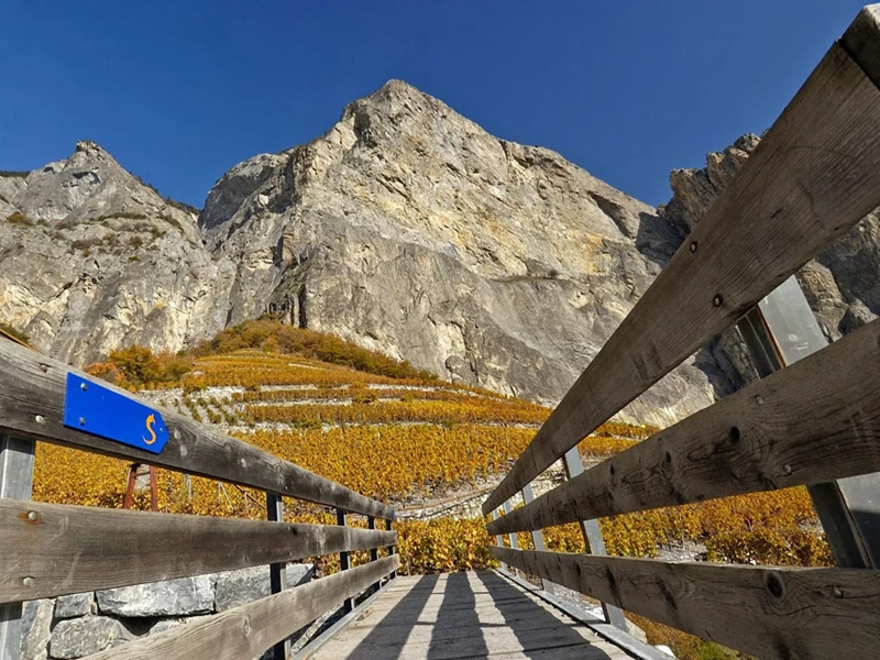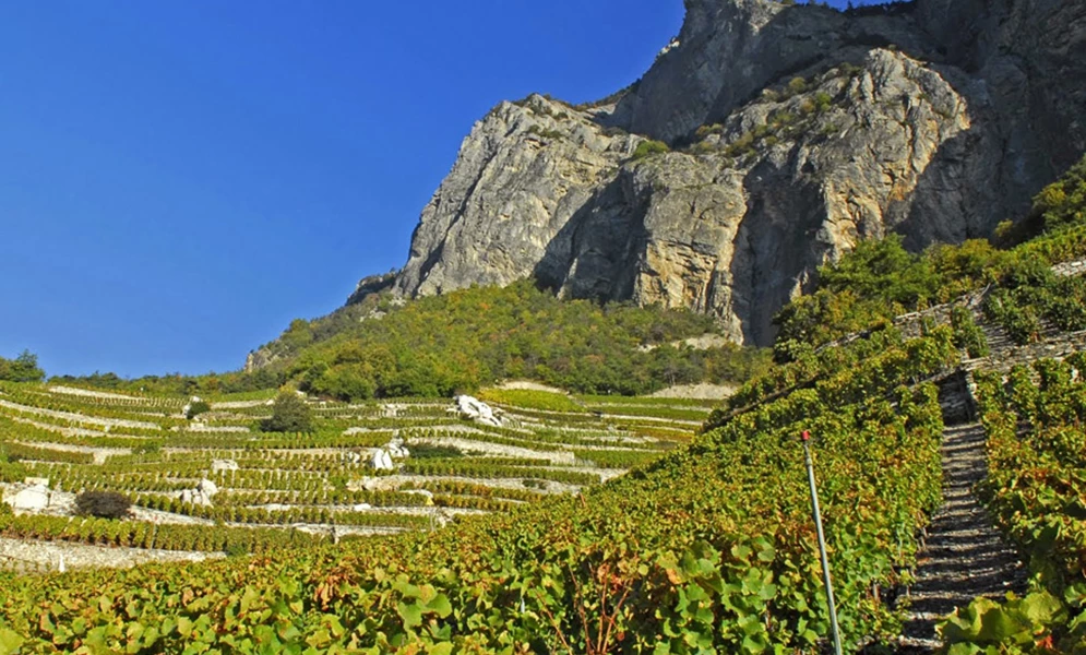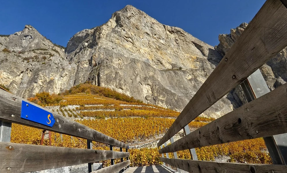
Vineyard to summit trail
Details
Located on an alluvial cone, Chamoson is overlooked by the cliffs of the Haut de Cry. Between the Rhone at an altitude of 480 metres and the Grand Muveran peaking at 3,051 metres, the Chamoson municipality extends across more than 3,500 hectares of orchards, vineyards, mountain meadows, pastures and rocks.
A significant part of its history bears witness to the relentless struggles that its inhabitants have waged against and for water. Against the torrential water that wreaks havoc, and for the channelled water that nourishes the earth and the vine.
It is this tremendous diversity and thrilling history that is told along the “Vineyard to Summit” trail while paying homage to nature and to the people who have shaped this magnificent landscape.
Practical information
> Easy hike
> Departure from Chamoson/St-Pierre-de-Clages station
> Walking time: 3 hours
> Distance 11km
> Altitude difference 360m
Vineyard to summit trail
St-Pierre-de-Clages
Chamoson

Johannisberg
Photo gallery
Your tasting profile
Select your favourite type of wine or indicate what you are looking for in a wine and find out which Valais wine is right for you.


